
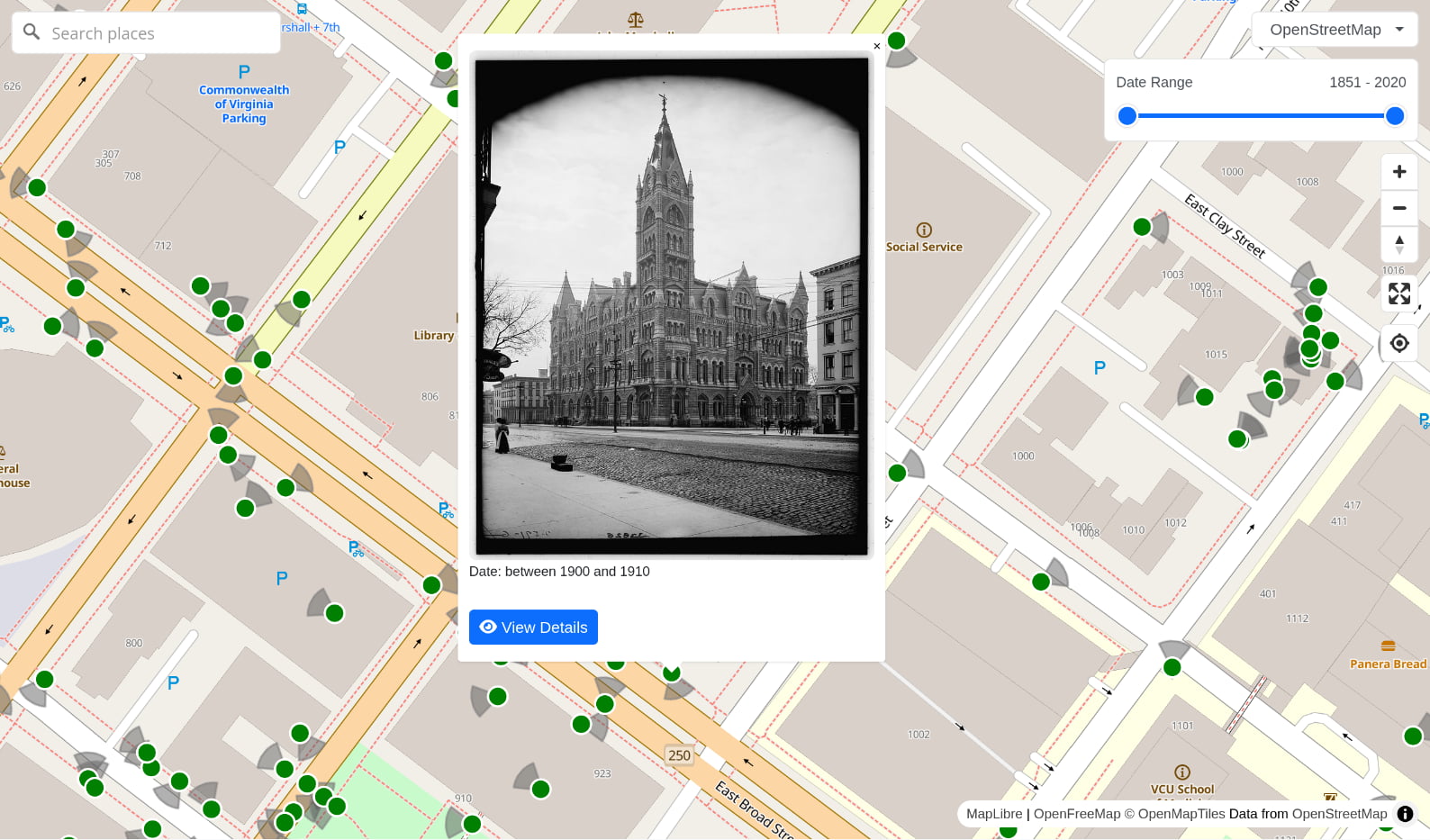
Explore tens of thousands of photos of Richmond—from the Civil War to COVID-19—all in one place for the first time. Our database includes photos from The Valentine, Library of Virginia, VCU, and Richmond Public Library.
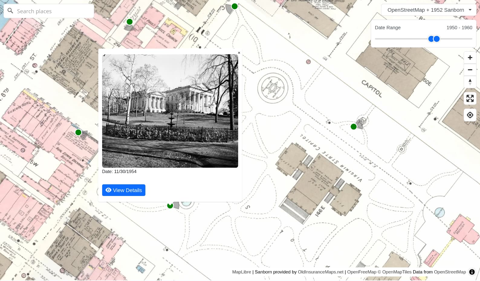
Browse photos on top of old maps, such as Sanborn insurance maps courtesy of OldInsuranceMaps.net. In this example, we filter for photos taken in the 50s, overlaid on a 1952 insurance map:
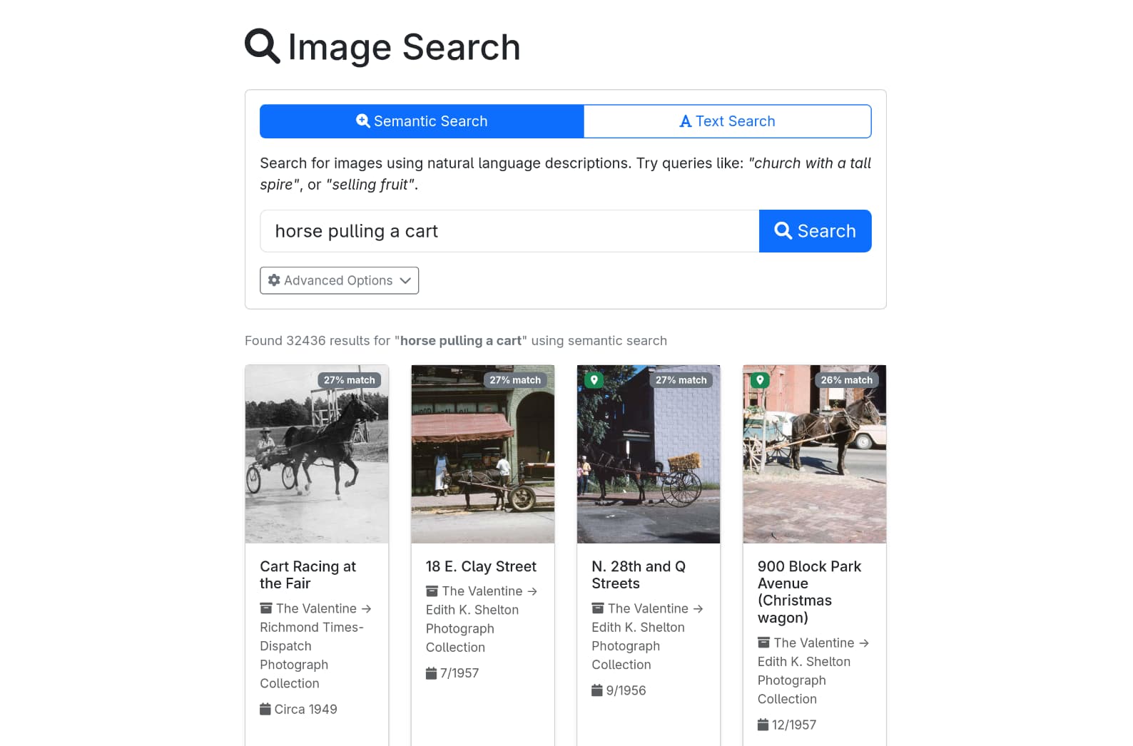
While many photos in our database include date and description metadata from the source, the best way to search is using our AI-powered semantic search. This allows you to search the contents of photos using natural language.
Yesterdays is free to use, and built entirely by volunteers. We invite you to join us!